


De la Souche à Jaujac

Dile10
User
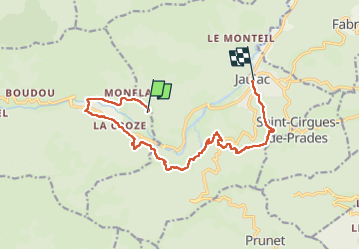

Length
13.3 km

Max alt
613 m

Uphill gradient
322 m
Km-Effort
18 km

Min alt
400 m

Downhill gradient
425 m
Boucle
No
Creation date :
2024-05-19 06:28:11.0
Updated on :
2024-05-19 15:07:41.51

FREE GPS app for hiking
 SityTrail
IGN / Geographical institutes
SityTrail Plus
The world is yours!
About
Trail of 13.3 km to be discovered at Auvergne-Rhône-Alpes, Ardèche, La Souche. This trail is proposed by Dile10.
Description
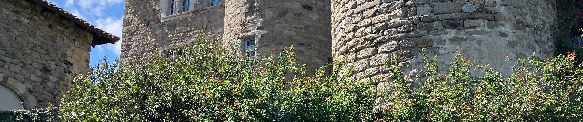
Descente de la Souche par Pereire puis retour de Jaujac par le château du Bruges
Photos


Positioning
Country:
France
Region :
Auvergne-Rhône-Alpes
Department/Province :
Ardèche
Municipality :
La Souche
Location:
Unknown
Start:(Dec)
Start:(UTM)
596729 ; 4942381 (31T) N.
Comments